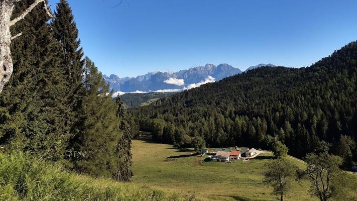
The route, devoid of particular difficulties, is also suitable for families and those looking for a relaxing walk to discover the mountain environments of Valmorel, which change appearance and atmosphere throughout the seasons. The route starts from Malga Montegal and initially follows the paved road of trail no. 2200, with a gentle and panoramic ascent. After the first stretch, you reach Malga Canal del Gat, and continuing through meadows and beautiful mountain views, you arrive at Malga Van. From here, you turn right onto the forest road no. 2202, then continue along the forest road no. 2203. The route develops on unpaved ground, crossing woods and tranquil environments, offering a pleasant contact with nature. Upon reaching a crossroads, you descend along the road no. 2204, known as “Troi dei Cavai,” a characteristic stretch of road. At the next intersection, you turn left, resuming road no. 2200, which leads back to Malga Montegal, thus closing the loop. USEFUL INFORMATION: Departure and arrival: Malga Montegal Type: Circular route Mode of travel: on foot Time to complete: 2.15 hours Difficulty: T - Tourist Elevation gain + and - : 192 Minimum and maximum altitude: 910 m. - 1100 m. Length: 7.25 km Type of terrain: mixed (paved road and unpaved forest road) Recommended period: year-round Equipment: hiking boots
Anello Verde Mezza Costa
This circular itinerary crosses pastures, woods, and wide landscapes, offering a pleasant experience immersed in nature
Connected entries